Wooden city maps
A selection of cities transformed into layered wooden map
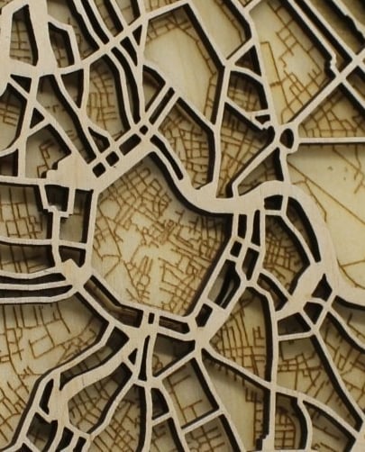
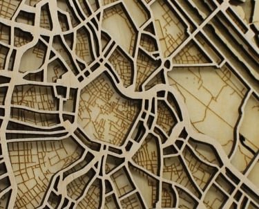
Wooden City map
A Wooden City Map is a physical representation of a city made entirely from wood. Instead of printing streets and landmarks on paper, we cut them into layers of wood.
Each map begins with real geographical data. We take the street layout, buildings, parks, and waterways, and translate them into wooden layers that stack and fit together.
Our wooden city maps are:
Accurate to real street data
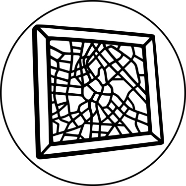
Mounted in a 20x20 cm wood frame
Warm in tone and appearance